The weather
The climate of Ithaca is that of Marine-Mediterranean and is characterized by mild, wet winters and hot, rainless but humid summers.
The sea that surrounds the island is a basic factor that contributes to cooler summers than those experienced on the mainland.

Rainfall
Like the rest of Western Greece, Ithaca receives a high rainfall. On average the annual rainfall is 1025mm. In other words, 1025 litres of water per square meter, or 1025 tonnes of water per acre, fall in a year.
all and the total number of rainy days. The number is rounded-off. On the remaining days on which we have no rainfall there is generally sunshine. The exception is the spring months of April-May during which we have the possibility of cloudy and overcast periods.
MONTHS | JAN | FEB | MAR | APR | MAY | JUN |
| Average Monthly Rainfall (mm) | 136 | 149 | 95 | 61 | 34 | 15 |
| Total Days of Rain | 14 | 15 | 7 | 6 | 3 | 3 |
| MONTHS | JUL | AUG | SEP | OCT | NOV | DEC |
| Average Monthly Rainfall (mm) | 1 | 9 | 50 | 124 | 156 | 195 |
| Total Days of Rain | 1 | 1 | 3 | 8 | 12 | 15 |
External temperature
The temperature during the day in Ithaca, contrary to what one would find on the mainland, doesn’t present a significantly wide range. Due to the proximity of the sea, extreme weather conditions are infrequent. During the early morning hours of winter, temperatures may reach zero, while during the heat waves of summer, midday temperatures may reach 40 degrees. This happens, however, under exceptional circumstances. We mention, merely for your interest, that during the summer months, the coolest seaside area of the island is Frikes while the warmest is Vathy.
The accompanying graph contains the average lowest temperature, average highest and average temperature for each month.
MONTHS | JAN | FEB | MAR | APR | MAY | JUN |
| Average Lowest Monthly Temperature (°C) | 8.5 | 7.5 | 9.5 | 11.4 | 14.7 | 18.1 |
| Average Monthly Temperature (°C) | 11.5 | 10.5 | 12.9 | 15.2 | 19.4 | 23.3 |
| Average Highest Monthly Temperature (°C) | 14.3 | 14.0 | 15.9 | 18.2 | 22.5 | 26.4 |
| MONTHS | JUL | AUG | SEP | OCT | NOV | DEC |
| Average Lowest Monthly Temperature (°C) | 20.2 | 20.9 | 19.0 | 16.0 | 12.6 | 9.9 |
| Average Monthly Temperature (°C) | 25.5 | 25.9 | 23.4 | 19.7 | 15.7 | 12.8 |
| Average Highest Monthly Temperature (°C) | 28.6 | 29.3 | 26.8 | 23.0 | 18.7 | 15.6 |
Temperature of the surface of the sea
The sea follows her own rules with regard to temperature. If weather conditions are normal, without any extraordinary climatic phenomena, then the temperature remains unaffected. Of course, in summer during heat-waves and periods of calm, it is possible that the temperature will rise locally and temporarily by one or two degrees. In times, however, of strong winds, it is possible that the cooler currents of the sea will be brought to the surface. This will result in lower temperatures than the average of that period.
The average monthly temperature of the surface of the sea is illustrated in the accompanying graph:
MONTHS | JAN | FEB | MAR | APR | MAY | JUN |
| Average Monthly Temperature Επιφανειακών of Surface Sea Waters (°C) | 14-15 | 13-14 | 14-15 | 14-15 | 18-19 | 20-21 |
| MONTHS | JUL | AUG | SEP | OCT | NOV | DEC |
| Average Monthly Temperature Επιφανειακών | 23-24 | 25-26 | 23-24 | 21-22 | 19-20 | 16-17 |
Winds
During spring and summer the main wind is the North-western (Mistral). It is usual that on summer mornings until midday, there is calm or a slight sea-breeze blowing from the South-east. At about 1pm the wind turns to North-western with strong gusts initially. During the winter months the prevailing wind is from the South-east (Sirocco). With the creation of heavy barometric pressure systems, the Sirocco becomes stormy. The direction of the wind influences the division of rainfall on the island. A western-type wind, (South-western, Western and North-western) benefits the Northern part of the island, while a southern wind (South-western, Southern and South-eastern) brings rain to the Southern part of the island.
Some information regarding the winds would be useful here:
• The harbour of Vathy is only exposed when there is a strong North-western wind.
• The harbour of Frikes is exposed when there is a strong North-eastern wind, while the harbour of Polis is vulnerable to the South-Southwestern wind.
• The Harbour of Kioni is exposed to a strong South-eastern wind and the harbour of Piso Aetos to the South- South-western.
• In the summer, visiting the sandy beach of Platys Ammos in the Gulf of Afales, is advisable before midday. From 1pm onwards, the Mistral begins to blow.
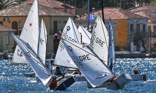
• The strong local North-western wind that blows during summer months in the Gulf of Frikes and in the Straits between Kefallonia and Ithaca, is ideal for sailing and windsurfing.
For the record, the English company Greek Islands Club, from the end of the 80’s to the beginning of the 90’s had an organized base in the harbour of Frikes. Following this, it moved to Vasiliki of Lefkada who’s geomorphology creates equally favourable wind conditions. Also, the cost of arrival for tourists was less due to the proximity of the airport of Preveza. A useful link for wind-conditions in the harbour of Frikes is the equivalent for that of Vasiliki in Lefkada.
The accompanying graph shows the average intensity, or speed, of winds in knots (Kt).
MONTHS | JAN | FEB | MAR | APR | MAY | JUN |
| Average Monthly Wind Direction | SE | W | SE | NW | NW | NW |
| Average Monthly Wind Speed(Kt) | 7.0 | 7.2 | 7.1 | 6.5 | 6.2 | 6.6 |
| MONTHS | JUL | AUG | SEP | OCT | NOV | DEC |
| Average Monthly Wind Direction | NW | NW | NW | SE | SE | SE |
| Average Monthly Wind Speed(Kt) | 4.1 | 5.4 | 5.7 | 6.1 | 6.8 | 6.9 |
Weather stations in Ithaca
While small in size, the island has five working weather stations that transmit the prevailing weather conditions live. Anyone can visit the websites of the stations and see the weather conditions as they evolve, or refer to the archives and obtain information for the weather on any given day of any month.
The links of the stations are as follows:
Vathy 2: http://1epal-ithakis.meteoclub.gr
Platreithias: http://ozia.net/ithaki
Stavros: http://stavros-ithaki.meteoclub.gr
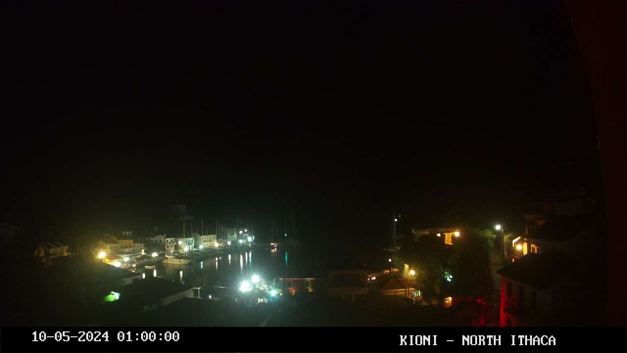
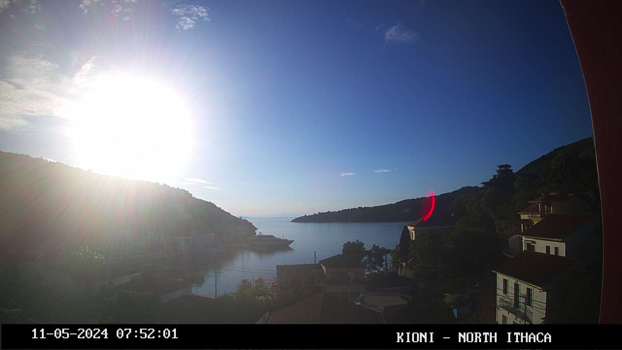
Live Cameras


1 min update


Weather predictions
For the predictions of the weather of Ithaca, we offer the following links:
For the prediction of the wind conditions for the region of the Ionion, we offer the following links:


